Support for altitude data in 3D view #1160
-
|
Some mapsforge maps (like OpenAndroMaps) have altitude data included. In the 3D view it would be nice to have an option to visualize the altitude. As an alternative source also HGT files could be used. |
Beta Was this translation helpful? Give feedback.
Replies: 6 comments
-
|
VTM is able to blend regular tiles sources (e.g. Mapsforge maps) with hillshading (raster) tile sources (e.g. Hike & Bike). See What you're asking is additionally to visualize the terrain as actual 3D in Z axis? |
Beta Was this translation helpful? Give feedback.
-
|
Exactly, a terrain visualization option. |
Beta Was this translation helpful? Give feedback.
-
|
Height map like this |
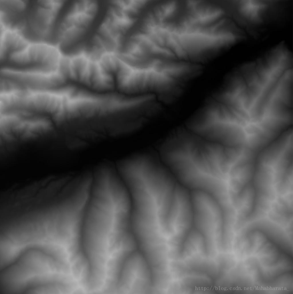
Beta Was this translation helpful? Give feedback.
-
|
Can already blend regular maps and relief maps in VTM:
|

Beta Was this translation helpful? Give feedback.
-
|
Does the data need to be rendered and processed by itself?(For example, I configure grid data through QGIS, and then publish it to XYZ Tiles through Geoserver.) Can it be used directly in VTM ? I have not discovered that the existing layer supports this function. |
Beta Was this translation helpful? Give feedback.
-
|
VTM does not support currently Hillshading from digital elevation model data like HGT format. I mentioned above the example of how to blend pre-rendered shaded relief maps in VTM. |
Beta Was this translation helpful? Give feedback.
VTM does not support currently Hillshading from digital elevation model data like HGT format.
That works in Mapsforge with a different engine, processing bitmap images (mapsforge/mapsforge#923).
I mentioned above the example of how to blend pre-rendered shaded relief maps in VTM.